2D & 3D Seismic
In the planning/designing phase of a 2D or 3D seismic survey project, we primarily make the geology of the proposed area into consideration in order to ensure that the calculated seismic acquisition parameters are optimized with regard to data quality and cost. PGDE company geophysicists are involved with each survey to environmentally unearth the subsurface stratus to satisfactorily meet your objectives.
To determine the appropriate design, we scrutinize a range of rock properties, including:
- Depth
- Structural dip
- Rock density
- Rock velocity
- Reservoir complexity
Economic and implementation issues are as follows:
- Topography
- Vegetation
- Permits
- Roads
- Rock rigidity
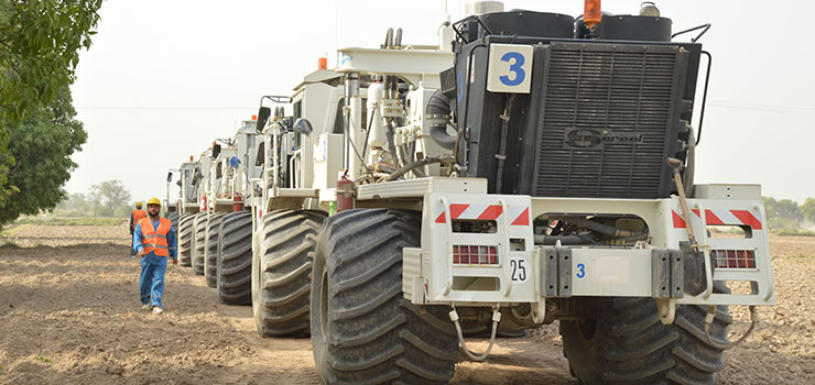
PGDEC operates two proficient and skillful crews which are equipped with ARAM ARIES and Sercel 428 recording systems.

In the field, PGDEC:
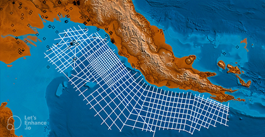
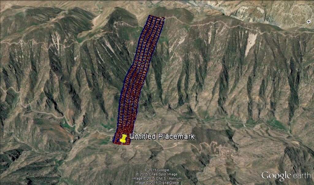
- Operates with a channel count of over 216,000 channels
- Equips crews with 62,000-pound peak force Vibroseis equipment and/or dynamite capabilities
- Positions source units by GPS
- Tracks all field units, including personnel carriers, in real time by GPS with helicopter support capabilities to minimize environmental impact and increase productivity
PGDEC friendly and skilled experts are able to develop and maintain good relationship between operating company and the landowner which is proverb to straightforwardly handle a project. These experienced permit agents understand and pay homage to the rights and interests of landowners while also properly satisfy the interests of our clients at the same time.